Naviter
Naviter is a small company in Slovenia which makes high quality soaring products that are extremely popular with sailplane pilots around the world. Their most popular products are listed below.
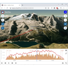
- SeeYou-Subscription (SeeYou.Cloud, SeeYou for PC, SeeYou Navigator...)
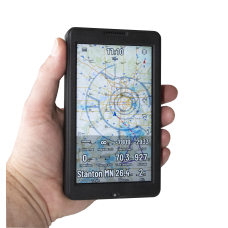
- Oudie N
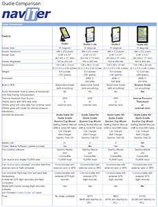
Oudie Comparison Table
The SeeYou and SeeYou Mobile software can be downloaded and tested using the link below. To enable the software you will need to buy a registration key.
- Downloads
- CreateCupX - Free PC software that can be used to add satellite images to your waypoint file
Manuals
There are detailed manuals available for SeeYou and SeeYou Mobile and Oudie on the Naviter web site at www.naviter.com.
Tips Documents
I have created some "Tips" documents to help you get up to speed quickly with the SeeYou, SeeYou Mobile and the Oudie.
- SeeYou Tips
- SeeYou Training Video Script (Used to create the SeeYou Training Videos)
- SeeYou Mobile Tips
- Oudie-Tips.pdf
- Pocket PC Tips (for PDAs only, not PNAs or the Oudie)
- AAT (Assigned Area Task) Tutorial for the Naviter Oudie, by Richard Frawley
Waypoint and Airspace Files
These files are great for use in a Naviter Oudie or LXNAV Nano3, Nano4, LXNAV S8, S80, S10, S100, LX80x0 or LX90x0. The waypoint file contains all public and private airports from an FAA database from here. The airspace data is provided by Naviter. Right-click on the links and select "Save Target As" or "Save Link As" and save them into any directory on the desired soaring device.
- Western USA
Alaska, Hawaii, All Western USA states to 101°W
USA-West-2024-05.cup - Airports
USA-West-2024-05.cub - Airspace - Central USA
From 110° W to 85°W
USA-Central-2024-05.cup - Airports
USA-Central-2024-05.cub - Airspace - Eastern USA
From 91° W to the Eastern coast of the USA and the SE Caribbean
USA-East-2024-05.cup - Airports
USA-East-2024-05.cub - Airspace
- Stanton, MN - Home of the Minnesota Soaring Club
Stanton2024-500.cup - Airports, Turnpoints, & Tasks
Stanton2024-5000.cup - Airports, Turnpoints & Tasks
The SeeYou and SeeYou Mobile software can be downloaded and tested using the link below. To enable the software you will need to buy a registration key.
- Downloads
- CreateCupX - Free PC software that can be used to add satellite images to your waypoint file
Manuals
There are detailed manuals available for SeeYou and SeeYou Mobile and Oudie on the Naviter web site at www.naviter.com.
Tips Documents
I have created some "Tips" documents to help you get up to speed quickly with the SeeYou, SeeYou Mobile and the Oudie.
- SeeYou Tips
- SeeYou Training Video Script (Used to create the SeeYou Training Videos)
- SeeYou Mobile Tips
- Oudie-Tips.pdf
- Pocket PC Tips (for PDAs only, not PNAs or the Oudie)
- AAT (Assigned Area Task) Tutorial for the Naviter Oudie, by Richard Frawley
Waypoint and Airspace Files
These files are great for use in a Naviter Oudie or LXNAV Nano3, Nano4, LXNAV S8, S80, S10, S100, LX80x0 or LX90x0. The waypoint file contains all public and private airports from an FAA database from here. The airspace data is provided by Naviter. Right-click on the links and select "Save Target As" or "Save Link As" and save them into any directory on the desired soaring device.
- Western USA
Alaska, Hawaii, All Western USA states to 101°W
USA-West-2024-05.cup - Airports
USA-West-2024-05.cub - Airspace - Central USA
From 110° W to 85°W
USA-Central-2024-05.cup - Airports
USA-Central-2024-05.cub - Airspace - Eastern USA
From 91° W to the Eastern coast of the USA and the SE Caribbean
USA-East-2024-05.cup - Airports
USA-East-2024-05.cub - Airspace - Stanton, MN - Home of the Minnesota Soaring Club
Stanton2024-500.cup - Airports, Turnpoints, & Tasks
Stanton2024-5000.cup - Airports, Turnpoints & Tasks
Refine Search
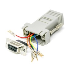
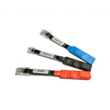
Adapter-RJ45-DB9f
Adapter, RJ45 to DB-9fThis is a configurable adapter that can be used to connect the Oudie Power/dat..
$5.00
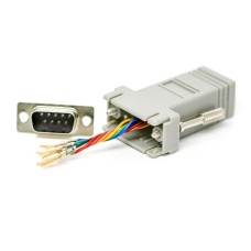
Adapter-RJ45-DB9m
Adapter, RJ45 to DB-9mThis is a configurable adapter that can be used to connect the Oudie Power/dat..
$5.00
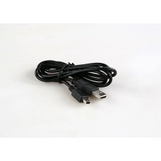
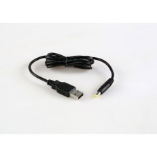
Cable-USB-miniUSB
Cable, USB to mini-USBThis is a standard USB to mini-USB cable. It can be used to connect an Oudie o..
$5.00
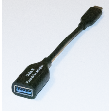
Flash Drive Adapter - USB-C
USB C OTG Flash Drive AdapterUSB-C to USB 3.1 Adapter, USB-C Male to USB-A Female, Uses USB OTG (On-..
$25.00
Naviter-Bluetooth-Dongle
Naviter Bluetooth DongleDescriptionThe Naviter Bluetooth Dongle converts any flight instrument with ..
$99.00
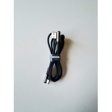
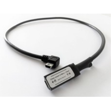
Naviter-Cable-USBA-to-USBC-rt-angle
Cable, USB A to USB C, right-angle connectors at both ends, length: 1m..
$5.00
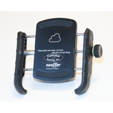
Naviter-Cradle-Universal
Naviter Cradle UniversalDescriptionThe Naviter Cradle Universal securely holds any Oudie, and most S..
$25.00
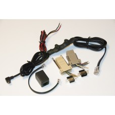
Naviter-Oudie-Cable-Kit
Oudie Cable Kit This is the 2nd generation Oudie cable kit. It is included in the box wit..
$80.00
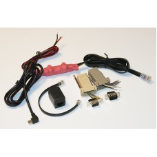
Naviter-Oudie-Cable-Kit-R2
Oudie Cable Kit - R2The Oudie Cable Kit is included in the box with every new Oudie2 - starting in a..
$80.00
Naviter-Oudie-Cable-Ver-Converter
Oudie Cable Version Adapter - With switch - For using a version Y Oudie with a version R c..
$20.00
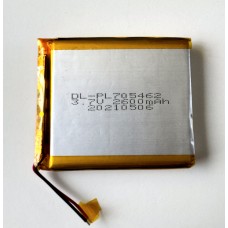
Naviter-Oudie-IGC-Battery
Naviter Oudie IGC Battery - The price includes installation and Oudie IGC electronic security s..
$105.00
Naviter-Oudie-IGC-Housing
Naviter Oudie IGC and Oudie 4 Housing - Price includes labor for installation and logger re-sea..
$115.00
Naviter-Oudie-Mount-GNeck-Panel
Oudie Gooseneck Mount with Panel AdapterThis is a great way to mount your Oudie, Oudie 2 or Oudie IG..
$72.00
Naviter-Oudie-Mount-GNeck-RA
Oudie Gooseneck Mount with Right-Angle AdapterThis is a great way to mount your Oudie, Oudie 2 or Ou..
$72.00
Naviter-Oudie-Mount-RAM-Adhesive
Oudie RAM Mount with Round Adhesive BaseThis is a great way to mount your Oudie, Oudie 2 or Oudie IG..
$52.00
Naviter-Oudie-Mount-RAM-Arm-Std
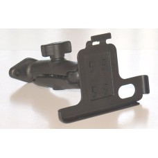
Oudie RAM Arm Mount KitThis is a great way to mount your Oudie, Oudie 2 or Oudie IGC to your glider'..
$45.00
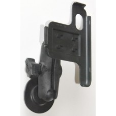
Naviter-Oudie-Mount-RAM-SCM
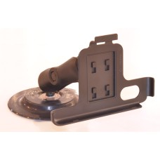
Oudie RAM Suction Cup Mount KitThis is a great way to mount your Oudie, Oudie 2 or Oudie IGC to your..
$68.00
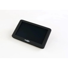
Naviter-Oudie-N
Naviter Oudie NTrade-Up DealsTrade-In Oudie 1 for Oudie N, $790, credit for trade-in: $100 (minus re..
$890.00
Naviter-Oudie-N-Battery
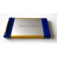
Battery for Oudie N and Oudie N IGC - Price includes installation and re-seal..
$145.00
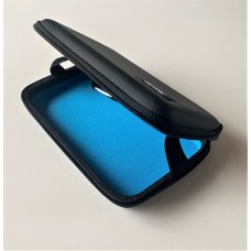
Naviter-Oudie-N-Case
Case for Oudie NThis is a high-quality padded case designed to protect your Oudie N when it is not i..
$30.00
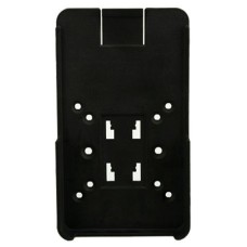
Naviter-Oudie-N-Cradle
Naviter Oudie N CradleFor mounting an Oudie N using an existing Oudie mounting arm, or for mounting ..
$60.00
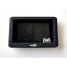
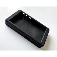
Naviter-Oudie-N-Housing
Naviter Oudie N Housing - For Oudie N and Oudie N IGC - Price includes installation and te..
$235.00
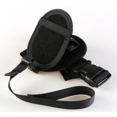
Naviter-Oudie-Thigh-Mount
Oudie Thigh MountThis is a good way to mount your Oudie, Oudie 2 or Oudie IGC to your thigh. It..
$35.00
Naviter-Oudie2-Battery
Battery for Oudie or Oudie 2 - Price includes installation labor - If you want to install ..
$60.00
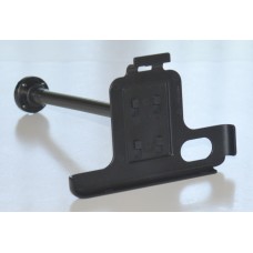
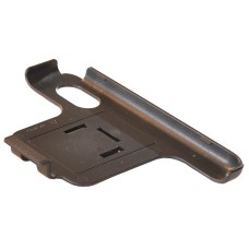
Naviter-Oudie2-Cradle-Old
Oudie2 Cradle - Original VersionThis cradle shipped with Oudies in the past. New Oudie's use the new..
$5.00
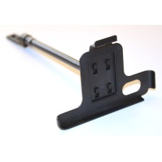
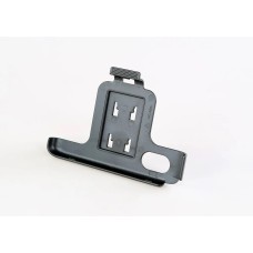
Naviter-Oudie2-Cradle-Richter
Oudie Cradle - RichterThis cradle is provided in the box with Oudie 2 and Oudie IGC units. It is des..
$5.00
Naviter-Oudie2-Housing
Oudie 2 Housing, front and back plastic pieces, price includes installation labor..
$70.00
Naviter-Oudie2-Stylus
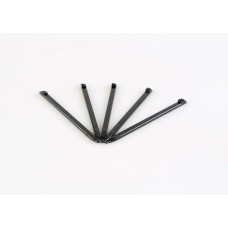
Oudie StylusThis is the stylus that is included with every Oudie, Oudie2, and Oudie IGC. This ..
$3.00
Naviter-Power-Adapter-USA-USB-A-USB-C
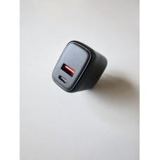
Power-Adapter-USA-USB-A-USB-C, USA Wall Plug, Input: 100 to 240 V, 50/60 Hz, Output: 3A..
$10.00
Naviter-SeeYou-Subscription
SeeYou - One Year SubscriptionNaviter has just changed how SeeYou Subscriptions are done. In the pas..
$59.00
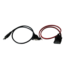
Naviter-USB-Power-Port
Naviter USB Power PortType A USB Charger socket that plays well with radios and other glider equipme..
$35.00
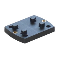
Richter-Cradle-Adapter
Richter Cradle AdapterThis adapter is used to mount an Oudie cradle on a RAM diamond base or RAM-GN3..
$12.00
Support-Phone
Support Over the Phone or Web With Free Web Conferencing - One-on-one - Very Pop..
$60.00


