EW Avionics

EW Avionics
EW has been making electronic barographs and flight recorders in the U.K. since the early 1990s.
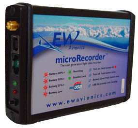
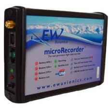
microRecorder
The microRecorder promises to be a very popular product due to its low cost, small size, and the portability made possible by its built-in battery. It is perfect for use in a soaring club or for recorder flights for submission to the OLC (Online Contest), or for use in a soaring contest.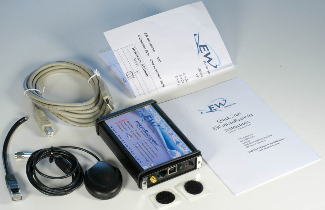
EW microRecorder News August, 2009
The EW microRecorder has been an extremely popular GPS flight recorder. Its small size, built-in battery, extremely simple operation and low price have guaranteed its success. However, as with all new high-tech soaring instruments, there have been a few quality issues and bugs which are being worked out over time. Below is a list of recent improvements to the product.
- The latest code has removed a minor bug in the writing of declarations
- The GPS engine is now much more sensitive, will fix in a matter of seconds and maintain a fix even under adverse conditions.
- Extra protection has been added to the board to reduce possible interfence from external sources.
- Batteries are of a higher capacity, giving even longer life. (Still, for safety, we use NiMh batteries, rather than Lituim)
- Circuit has been modified to function normally up to much higher temperatures.
New - Engine Noise Level recording now included free of charge in all units. If you bought an EW microRecorder from me that does not have the ENL enabled, just send me an e-mail with the serial number and I'll send you a free enable code that you can enter in to the EW-USER.TXT file.
microRecorder with built-in SD Memory Card Reader - Now Standard
The microRecorder can read pilot, glider, setup and task data from the SD card at power-up and can also write one or all flight logs to the SD card at power-down. That makes it possible to save the "EWUSER.TXT" configuration file onto an SD card at home and use it in a club owned or rental microRecorder at the airport. The EWUSER.TXT file includes setup data such as recording interval and task declaration data such as pilot name, glider ID, and task waypoints.
I imagine that this option will be popular in 2 scenarios.
- In a club environment it will be possible for club members to bring their personal SD card to the airport for use with the club's microRecorder. They can come to the airport with their pilot, glider and task data already on the SD card and they can go home with their day's flight log on their SD card - all without the use of a PC.
- Contest pilots will like the ability to download their most recent flight log to the SD card without the need for a PC. They can then hand the contest scorer the SD card rather than their precious flight recorder.
Suction Cup Mounts for use with the microRecorder
Suction Cup Mount for GPS Antenna
This mount can be used to mount the GPS antenna to the glider canopy. The mount and suction cups may or may not be strong enough to hold the logger and antenna.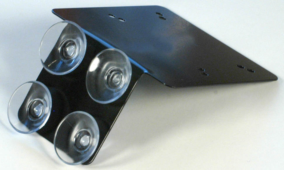
Note: Mounting the microRecorder in direct sunlight in a closed cockpit on a hot day may cause the unit to overheat and shut-down.- RAM-B-SCMK-RAP-B-201-RAM-B-202
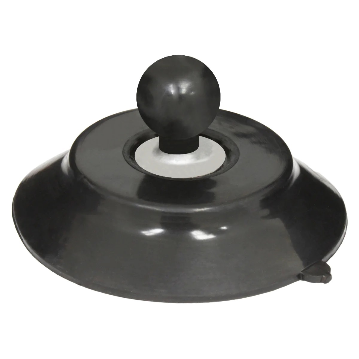
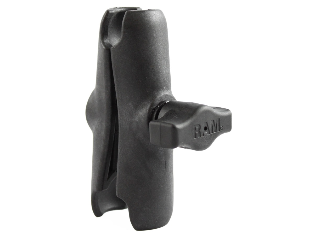
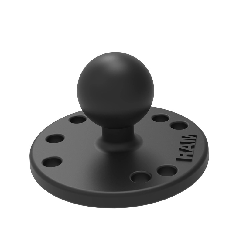
This suction cup assembly could be used to mount the microRecorder and GPS antenna to the glider canopy. It is much more robust and reliable than the option shown above, but it is much larger. Velcro would be used to mount the RAM-B-202 base to the bottom of the microRecorder and to mount the antenna to the top of the microRecorder.
Note: Mounting the microRecorder in direct sunlight in a closed cockpit on a hot day may cause the unit to overheat and shut-down.
Tips
Logging Interval When Sending Data to a PDA
When using an EW microRecorder with a PDA, EW recommends in the manual that the logging interval be set to 1 second. That way it will send both GPS altitude and pressure altitude to the PDA every second. When it is set to more than 1 second, SeeYou Mobile alternates between using the GPS altitude from the $GPGGA data sentence every second and the pressure altitude from the $PGRMZ sentence at every logging interval. They are bound to be different which will cause SeeYou to think the glider is jumping up or down and then back at every logging interval.
Battery Level Indication
I have received quite a few complaints from customers stating that the battery does not last very long in flight. I am convinced that this is mainly due to the fact that the EW incorrectly reports that the battery is full immediately after you take it off the charger - even if it is not nearly fully charged. So please don't believe the 4 red blinks that indicate that the battery is full - at least not just after having the unit on the charger. The correct way to use the red light to ascertain the battery voltage is to turn the unit on for about 15 minutes, then press the ON button and watch the blinking lights. The other misconception is the amount of time required for a full charge. To charge the unit fully using a USB cable connected to a PC is about 12 to 24 hours. The issue is that people charge the unit for 2 hours and then immediately press the power button to check the battery voltage. They then think the battery is full and go fly. The unit then quits working after only an hour or 2. So..... Be sure to charge the unit for 12 to 24 hours. Then turn the unit on for about 15 minutes before checking the battery voltage.
Resetting the Unit
From time to time I get calls from customers with units that have locked-up and won't turn off. That is easy to fix. Simply obtain an Ethernet cable (RJ45) and strip back and twist together the brown and brown/white wires. Then put the cable into the unit for 1 second. The unit will turn off. Then turn it on using the on button and it should work fine.
Power-Up Without SD Installed
If the unit doesn't turn on because an SD card is not installed, or it does not recognize the SD card, keep pressing the power button and it will power-up in about 5 to 10 seconds - ignoring the SD card.
Declaration Format
The EW microRecorder manual is not very clear on the format for coordinates in task declarations. Below is an example declaration that was created by SeeYou Mobile:
Description: Declaration
Take Off LatLong: 0000000N00000000E TAKE OFF
Start LatLon: 4428531N09300979W Stanton MN
TP LatLon: 4419481N09318650W Faribault
TP LatLon: 4405767N09309170W 100kmTP-SYN-FBL
TP LatLon: 0000000N00000000E TURN POINT
TP LatLon: 0000000N00000000E TURN POINT
TP LatLon: 0000000N00000000E TURN POINT
TP LatLon: 0000000N00000000E TURN POINT
TP LatLon: 0000000N00000000E TURN POINT
TP LatLon: 0000000N00000000E TURN POINT
TP LatLon: 0000000N00000000E TURN POINT
TP LatLon: 0000000N00000000E TURN POINT
Finish LatLon: 4428531N09300979W Stanton MN
Land LatLon: 0000000N00000000E LAND
The coordinates are in DDMMmmm format for latitude and DDDMMmmm format for longitude. Where DD or DDD = Degrees, MM=Minutes, mmm = decimal minutes. For example, the Start LatLon: is 44 degrees, 28.531 minutes N, 093 degrees, 00.979 minutes W.
Downloads:
Frequently Asked Questions
| GPS Flight Recorder Mounting Suggestions The photos below are to approximately the same scale. Click on the images to view larger versions.
|
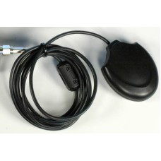
EW-Antenna
GPS Antenna for EW microRecorderCable Length: 5 ft (1.52 m)Cable Type: RG174Connector Type: SMA..
$25.00
EW-microRecorder
microRecorder IGC Approved Flight RecorderI no longer stock these units. After the release of ..
$0.00
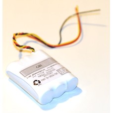
EW-microRecorder-Battery
Battery for EW microRecorderThe EW microRecorder is delivered with a built-in rechargeable battery.&..
$55.00


